Land intelligence, where it is needed.

Water, soil, ice, and the living things that depend on them. REIA turns satellite and federal records that are already public into a Nation's own account of what is happening on its territory, measured alongside its Guardians and owned outright from the first day.

Where we started
Treaty 4
Muskowekwan First Nation, Saskatchewan
Research programs
4
Water, satellite, disturbance, climate
Built on
Public data
Free federal and satellite records, first
Owned by
The Nation
Always, in writing, with export rights

Why REIA exists

Nations should be leading this, not being consulted on it.

The land is already being measured. Constantly, and at enormous expense, by proponents, provinces, consultants and university researchers. Almost none of it is done by, or for, the Nations whose territory it is.

Sovereignty over land is exercised in ordinary decisions. What gets approved, what gets protected, what gets restored, and when to say no. Making those out of somebody else's dataset is not sovereignty, it is administration. REIA puts the capability inside the community and hands over the keys.

More about why we exist and what we will not do →

How a Nation runs it
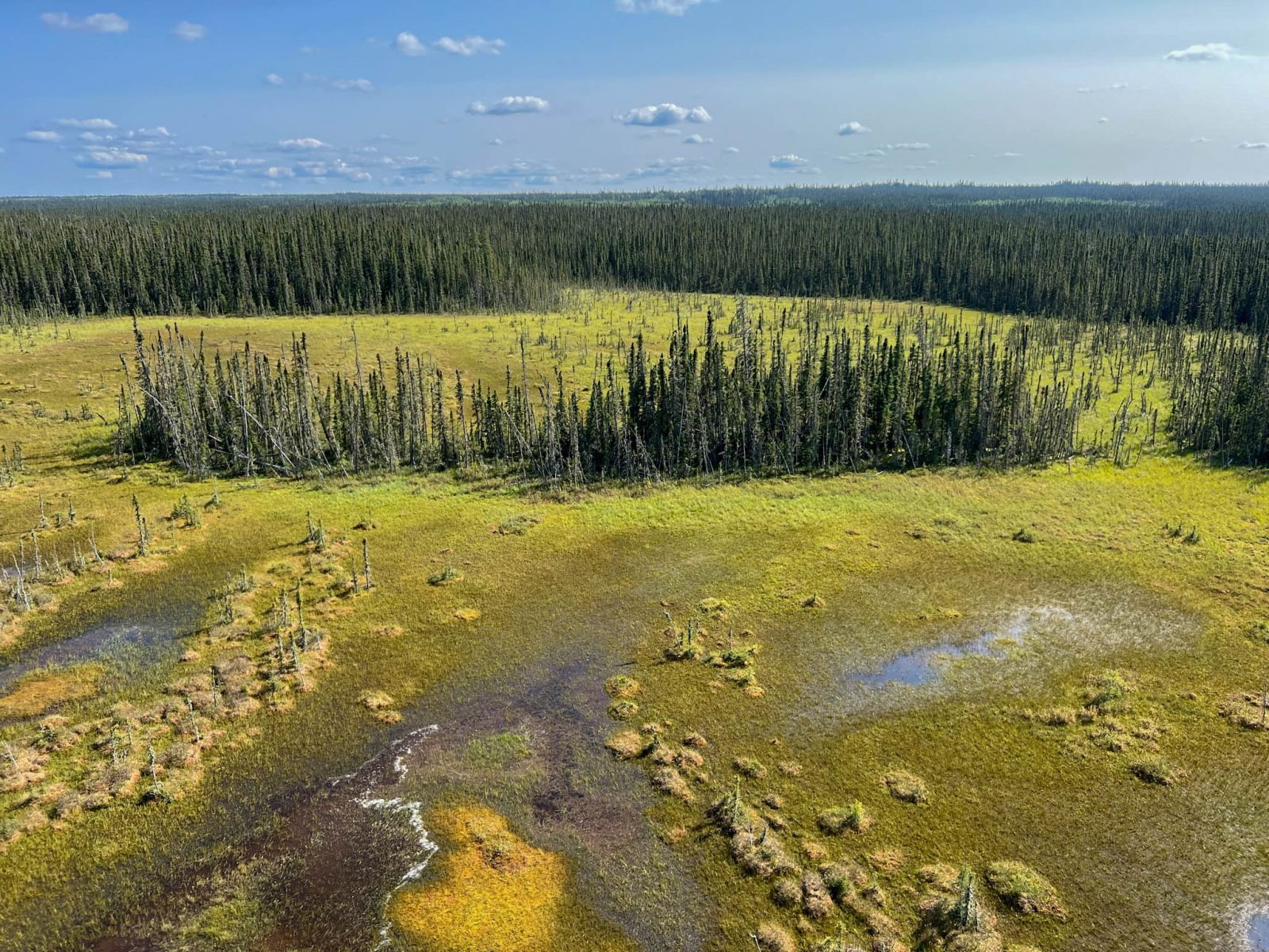
Photograph needed Land on a partner territory, wide, with weather in it. People only with their consent and their names attached.

Straight to it

You already know if you need this.

We are not going to explain your own territory to you. Here are six things that happen in communities across this country. If two or three of them landed, keep reading.

Someone asked whether the water is alright to drink, or to swim in, and answering it meant phoning out to somebody else.

Your Guardians are collecting good information and it lives in a phone, a notebook and three spreadsheets.

You planted along a creek four years ago and nobody can say yet whether it worked.

Freeze-up comes later than it used to and everyone knows it, but nobody has it written down anywhere.

A consultant did a study for the Nation a few years back. You have the report. You do not have the data underneath it.

A funder asked for outcome reporting and it took two weeks to assemble something the Nation already half knew.

None of that is a technology problem. The satellites are up, the federal records go back decades and cost nothing, and the methods are published. It is an ownership problem. The knowing happens somewhere else, comes back late and thin, and leaves with whoever did it.

That is the part we fix. Not by studying your community. By building the capability inside it and handing you the keys.

Land intelligence

One capability, nearly every stewardship question.

Once a Nation can see its own territory clearly, and see it changing over time, a long list of problems that looked separate turns out to be the same problem asked in different ways. This is the range of it.

Land use planning

Zoning and protecting your own territory from your own evidence, rather than reacting to somebody else's map.

Consultation and referrals

Answering a thirty day clock with a position you can defend, because the baseline was already there before the letter arrived.

Water security

Source water protection, salinity, drought and flood, and knowing which upstream decisions are about to land on you.

Wildlife and habitat

Range condition, connectivity, and indicator species chosen for what they actually tell you about the health of a place.

Fire

Fuel load, burn planning including cultural burning, risk to community, and how the land recovers after fire has moved through.

Climate adaptation

Growing season, freeze and thaw, drought frequency and water supply, tracked so planning is for what is coming rather than what used to be normal.

Restoration

Whether the planting worked. Measured against a fixed baseline over several seasons, and reported honestly when it did not.

Carbon and biodiversity

Measured rather than assumed, so that if there is ever value in it, the value and the methodology both belong to the Nation.

Food and harvesting

Access, condition and seasonal timing for the things people actually go out and get, without ever mapping where they get them.

Emergency response

Flood, fire, washouts and unsafe ice. Current conditions across a whole territory when a decision has to be made this afternoon.

Holding commitments

Independent verification that what a proponent promised in an agreement is what is actually happening on the ground.

Claims and negotiation

Defensible evidence of what was there, what changed, and when. The part that is impossible to reconstruct after the fact.
Underneath all of it

01

Public data first

Decades of free federal hydrometric, climate and registry records, assembled for a specific territory for the first time.

02

Satellite observation

Optical for vegetation and water, radar for what optical cannot see: through cloud, through darkness, and ground that is moving.

03

Models that forecast

Projecting condition days to weeks ahead from climate inputs, rather than reporting a problem after it has already arrived.

04

Guardians on the ground

Field measurement is what makes the rest defensible, and it is where the jobs are. Models propose. People confirm.

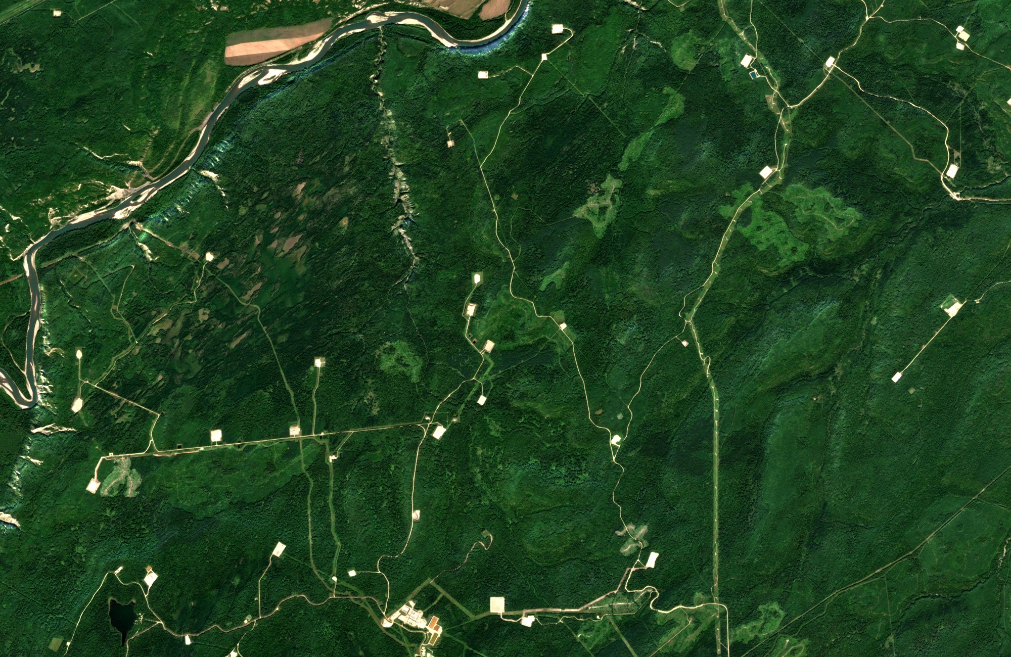
Boreal terrain crossed by straight seismic lines with rectangular cutblocks and small wellsite clearings Cumulative industrial disturbance on boreal land: seismic lines, cutblocks, an access road and wellsite pads. Each one approved on its own. None of them ever assessed together. See how we map it.

Where we work

One Nation at a time, on that Nation's terms.

REIA is not a product that ships. Every deployment starts with a community that wants it, and is shaped by what that territory actually needs.

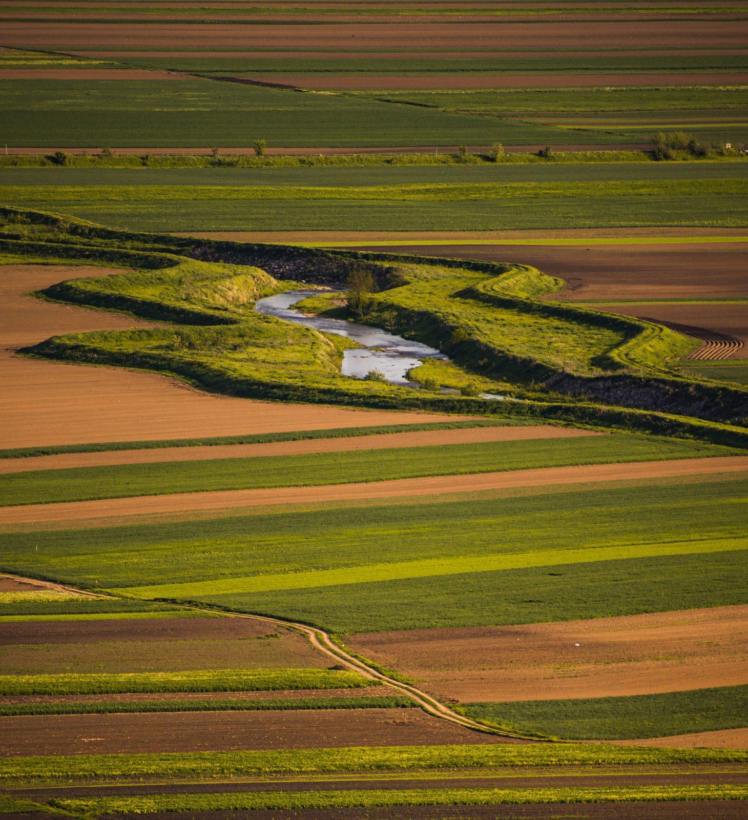
Aerial view of prairie parkland and wetland basins
Treaty 4 · Saskatchewan

Muskowekwan First Nation

Parkland ecosystem restoration and monitoring. Water and wetland health in a landscape of prairie potholes, soil carbon and native grassland recovery, indicator species, and climate adaptation.

Active program See the program
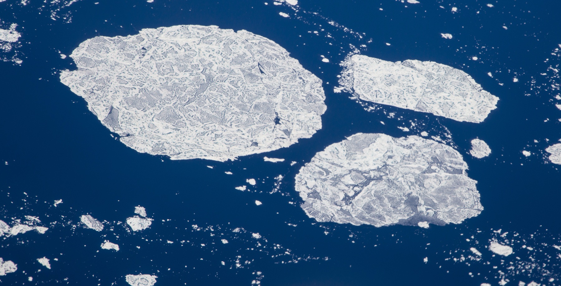
Fragmented Arctic sea ice floes with melt ponds on dark polar water
Inuit Nunangat

The Arctic

Sea ice, permafrost and coastline are changing faster here than anywhere else in the country, and the communities living with it have the thinnest monitoring infrastructure of anywhere in Canada.

In development Read the case
Your territory
Anywhere in Canada

Bring REIA to your Nation

The first conversation costs you nothing and takes an hour. We ask what decisions you are being pushed into, what you already hold, and what your Guardians are already doing. Often the useful first step is smaller than anyone expects.

Open Start a conversation

Research and development

The hard parts are still hard, and we say so.

Forecasting water quality from climate inputs, pulling disturbance footprints out of satellite imagery without a human tracing every polygon, detecting ground movement at millimetre scale from orbit. These are real research problems and we are working on them in the open.

We publish method and uncertainty alongside results, including the results that did not work. An environmental record that only ever reports success is not a record, it is marketing.

Evidence, not decisions. The instruments report what they measure. The Nation decides what it means.

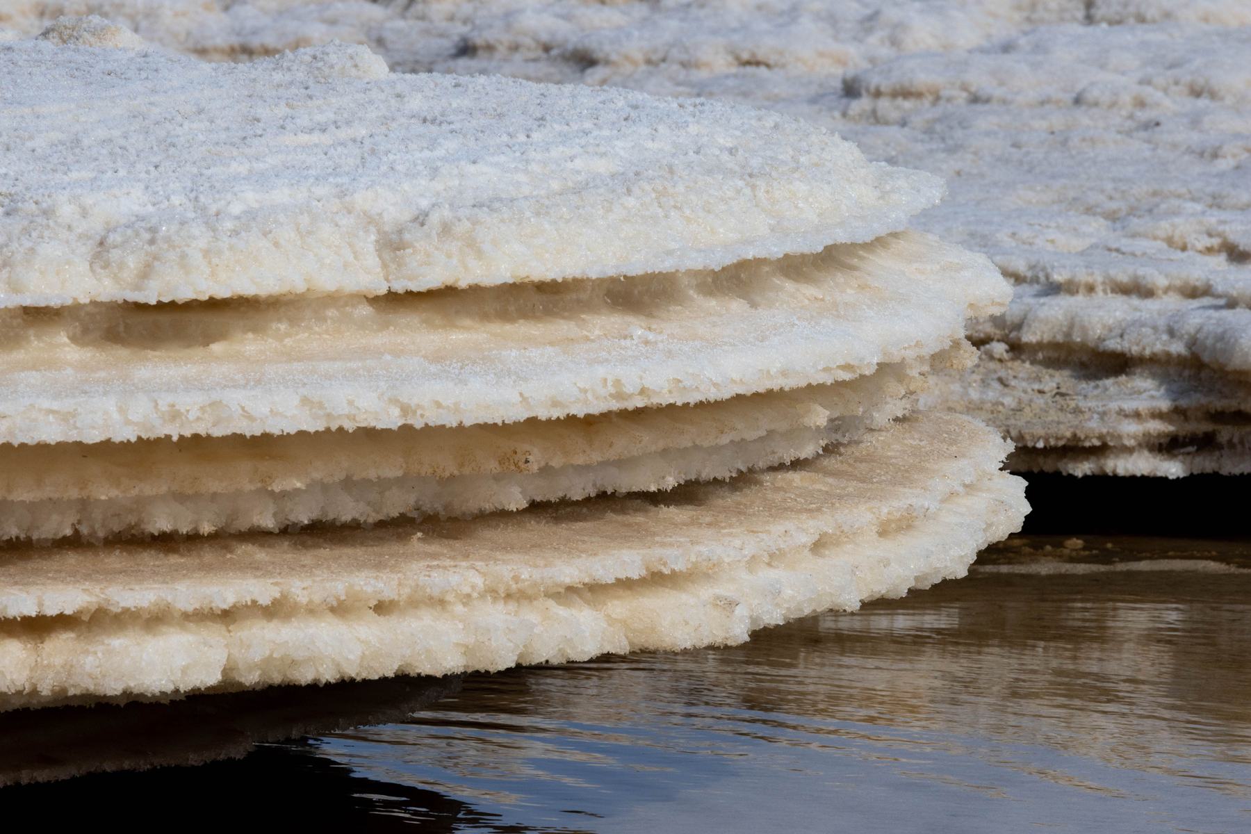
Nested shoreline contours showing a saline lake expanding outward Successive shorelines of a rising saline lake, reconstructed from public satellite imagery. The kind of change that is obvious in a time series and invisible in a single visit.

How we hold data

The record belongs to the Nation.

Environmental data about Indigenous land has a long history of being collected by outsiders and kept by them. Every REIA agreement inverts that, in writing, before any work starts.

OWNERSHIP

The Nation owns the measurements, the records, and everything derived from them. Not the university, not the funder, not us.

CONTROL

Council decides what is collected and what is published. Nothing is filed, released or shared on the Nation's behalf.

ACCESS

Research requests go to Council, in writing, and are answered by Council. Sacred, ceremonial and harvesting places are never collected at all.

POSSESSION

Canadian servers, written export and deletion rights, and a clause covering what happens to the data if we cease to exist.

Traditional knowledge is never used as training data. It stays its own knowledge system, on its own terms, and it guides the work rather than being absorbed into it.

Using it

Four people, four views of one record.

A monitoring platform fails when it is built for a single role. What a Guardian needs standing in a slough in April has almost nothing in common with what Council needs in a Tuesday meeting.

Guardians

The field

Capture a reading with no signal, gloved, in weather. Photo, location and date attach themselves. It syncs when you are back in range, not before.

Offline mobile
Lands and environment

The desk

Referrals with their clocks running, mapped against what is already known about that ground. Sampling schedules, quality flags, and the exports a funder asks for.

Workbench
Chief and Council

The decision

What changed, what needs a decision, and what left the Nation and who received it. Access approvals live here and nowhere else.

Briefing and governance
Members

The community

Plain answers to what people actually ask. Is the water alright. What is proposed near us. Where do I sign up to train.

Member view

Your own node

Not tenants on our system. Your system.

REIA is not one database with Nations as accounts inside it. Every Nation runs its own node, on infrastructure it chooses, that keeps working if we stop existing.

01

The record lives where you say

On territory in the band office where connectivity and capacity allow, on your tribal council's infrastructure, or in a Canadian cloud account the Nation holds the keys to. You name it. We never hold the only copy, and never the primary one unless you ask.

You choose the ground
02

Heavy lifting stays off your network

Satellite processing means hundreds of gigabytes of imagery and real GPU time. Putting that in a band office is not sovereignty, it is a maintenance burden with a fan in it. That runs centrally and pushes finished results to your node, which never depends on it to keep working.

Local first, sync when you can
03

It speaks to what you already run

Everything exports as GeoPackage, GeoJSON, Shapefile and CSV, so it opens in QGIS and ArcGIS without anyone converting anything. An API connects it to the land management, membership or referral systems the Nation already uses. The failure we design against is becoming a second silo nobody opens.

Open formats, no lock-in
04

The sever switch

Every vendor promises portability in a contract. Almost nobody implements it. Here it is a button: disconnect from REIA entirely and keep a complete working system, your data, the code that runs it and the models, on your own infrastructure. Written into the agreement and tested once a year, because a promise nobody has exercised is not a promise.

Ownership you can prove
05

Federation, only if you want it

Disturbance does not stop at a reserve boundary. Neither do watersheds, caribou range or fire. Any two Nations can share one specific layer directly with each other, on terms set between them, with no province, consultant or central body in the middle, and either can revoke it. Off by default, opt in per layer, per neighbour.

Nation to Nation, nobody in between
06

Provenance on every number, logging in both directions

Each figure traces to its source, method, date and the person who recorded it, which is what lets it survive a hearing. And the access log runs both ways: the Nation can see every read of its data, including ours.

Auditable both ways

Work with us

Tell us what you are trying to see.

We are early and we would rather talk to people now than present a finished thing later. Everything below reaches the same inbox.

For Nations

Bring REIA to your community

A first pass using public data alone takes weeks, not years, and it is usually enough to tell the Nation whether the fuller build is worth doing. The data is yours from day one, in writing, including the right to take it and walk away.

For researchers

Partner on the science

We are looking for collaborators in hydrology, remote sensing, soil science, permafrost and restoration ecology. Community ownership of the resulting data is not negotiable, and we will say that up front so nobody wastes a meeting.

For funders and investors

Back the build

Funding goes to field equipment, Guardian wages and training, and the engineering that turns measurements into decisions. We can share a budget, a stage plan, and what each stage actually costs.

For people

Come work on it

Remote sensing, data engineering, ecology, and community-facing roles. Indigenous applicants are strongly encouraged, and northern and on-reserve candidates especially.

Goes straight to us, nowhere else. We usually reply within two working days. If you would rather email directly, we are at info@reia.ca.